iFANN
    搜索 iFANN...
    登录
    首页
    新闻
    视频
    书库
    图片
    GIF
    探索
    投票
    大奖
    iFAMOUS
    维基
    动漫
    聊天室
    通知
    私信
    收藏
    我的
    维基大奖iFAMOUS排行榜行业创作者奖励用户奖励条款隐私社区准则下架 / DMCA帮助开发者

    © 2026 iFANN

    首页
    搜索
    私信
    提醒
    我的
    照片
    Taiki
    Taiki@taiki7m
    💭Info/Editorials💭History
    world map of 1700 urban centers

    @taikiCities with populations over 100,000 back in 1700

    查看原帖

    world map of 1700 urban centers

    @taiki 的照片· Nov 20, 2026· Info/Editorials

    关于这张照片

    The image is a world map with several cities marked by red squares and labeled with their names. The map shows continents and oceans in muted colors. The focus is on the distribution of these labeled cities across Europe, Asia, and Africa. The style is informational and cartographic.

    查看Info/Editorials的全部照片

    ?

    还没有评论。来抢沙发吧!

    更多Info/Editorials照片

    查看Info/Editorials的全部照片
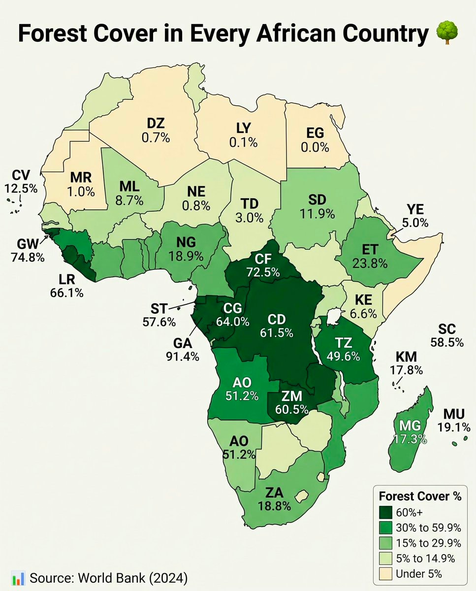
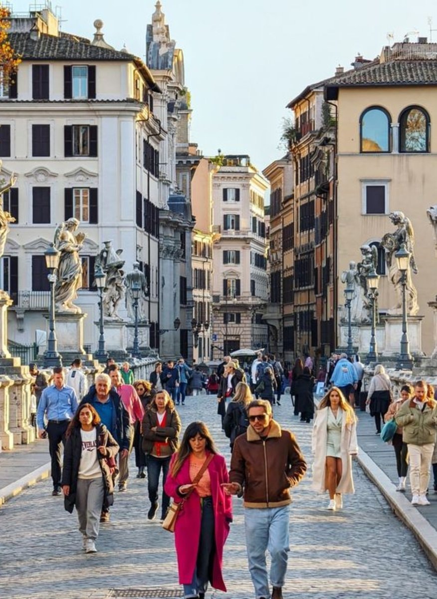
    Hurun Global Rich List 2026 billionaire cities2Hurun Global Rich List 2026 billionaire citiesGiorgia Meloni Italy3Giorgia Meloni ItalySheep density map of EuropeSheep density map of EuropeNumbeo Safety Index 2026 top cities2Numbeo Safety Index 2026 top citiesIndia Destination of the Year 20274India Destination of the Year 2027World map country sizesWorld map country sizesNumbeo affordable cities 20262Numbeo affordable cities 2026main European regions mapmain European regions mapAfrica forest cover by countryAfrica forest cover by countryRome Italy most walkable city2Rome Italy most walkable cityAsian Country Urban Population MapAsian Country Urban Population MapGlobal Nuclear Power Capacity 20252Global Nuclear Power Capacity 2025US State population under 25 shareUS State population under 25 shareLionel Messi jersey stars2Lionel Messi jersey starsPoland 17th century vs today mapPoland 17th century vs today map
    照片
    Taiki
    Taiki@taiki7m
    💭Info/Editorials💭History
    world map of 1700 urban centers

    @taikiCities with populations over 100,000 back in 1700

    查看原帖

    world map of 1700 urban centers

    @taiki 的照片· Nov 20, 2026· Info/Editorials

    关于这张照片

    The image is a world map with several cities marked by red squares and labeled with their names. The map shows continents and oceans in muted colors. The focus is on the distribution of these labeled cities across Europe, Asia, and Africa. The style is informational and cartographic.

    查看Info/Editorials的全部照片

    ?

    还没有评论。来抢沙发吧!

    更多Info/Editorials照片

    查看Info/Editorials的全部照片
    Hurun Global Rich List 2026 billionaire cities2Hurun Global Rich List 2026 billionaire citiesGiorgia Meloni Italy3Giorgia Meloni ItalySheep density map of EuropeSheep density map of EuropeNumbeo Safety Index 2026 top cities2Numbeo Safety Index 2026 top citiesIndia Destination of the Year 20274India Destination of the Year 2027World map country sizesWorld map country sizesNumbeo affordable cities 20262Numbeo affordable cities 2026main European regions mapmain European regions mapAfrica forest cover by countryAfrica forest cover by countryRome Italy most walkable city2Rome Italy most walkable cityAsian Country Urban Population MapAsian Country Urban Population MapGlobal Nuclear Power Capacity 20252Global Nuclear Power Capacity 2025US State population under 25 shareUS State population under 25 shareLionel Messi jersey stars2Lionel Messi jersey starsPoland 17th century vs today mapPoland 17th century vs today map